

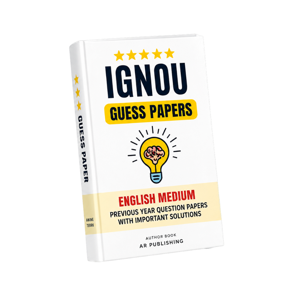
MGG-011 IGNOU Guess Paper 2026-27
Click to view offer details & terms
Get 10% OFF Instant Discount
Apply this coupon code at checkout to claim your academic discount instantly.
- Applicable on all university study materials
- Valid for up to 8 item(s) per order
- Valid till Oct 31, 2026
Enrolled in other IGNOU subjects?
Link your Enrollment No. to auto-map all your semester courses & free question papers.
Frequently Bought Together
Popular course materials frequently ordered together
Syllabus & Overview
Course Scope & Syllabus Overview for MGG-011: Geographical Information System (GIS)
MGG-011: Geographical Information System (GIS) is a core component of IGNOU’s Master of Science in Geography (MSCGG) curriculum, designed to equip students with advanced spatial data management and analytical skills. This course bridges theoretical foundations with practical GIS applications, covering data acquisition, spatial analysis, and geovisualization techniques. Aligned with the CBCS framework, it emphasizes hands-on learning through software tools like QGIS and ArcGIS, ensuring students develop expertise in mapping, remote sensing, and geographic modeling—critical for modern environmental, urban, and resource management studies.Key Syllabus Units & Topics
- Block-1 GIS Fundamentals: Introduces core GIS concepts, including coordinate systems, projections, and spatial data structures, with a focus on raster and vector data models essential for geographic representation.
- Block-2 Data Models and Geographic Framework: Explores hierarchical data organization, topological relationships, and geodatabase design principles, critical for efficient spatial database management in GIS.
- Block-3 GIS Functionalities: Covers spatial query operations, overlay analysis, and network modeling, enabling students to solve real-world problems like site selection and terrain analysis.
- Block-4 GIS Applications: Applies GIS to environmental monitoring, urban planning, and disaster management, integrating remote sensing data for dynamic spatial decision-making.
Frequently Asked Questions
Q: What is the marking scheme for MGG-011’s Term-End Examination (TEE), and how are internal assessments weighted?
A: The TEE carries 80% weightage, divided into objective (20 marks) and subjective (80 marks) sections, while assignments contribute 20%. Focus on mastering both theoretical concepts and practical GIS operations for optimal scoring.
Q: Are there recurring questions in MGG-011 exams, and how can I prioritize revision based on past papers?
A: Yes, approximately 30–40% of questions repeat annually. Analyze solved past papers (June/December cycles) to identify high-weightage topics like coordinate systems (Block-1) and overlay analysis (Block-3) for targeted revision.
Why buy from us?
-
Verified by top professors and 99th percentile students.
-
Always updated to the latest university curriculum.
-
High-quality, printable PDF formats with clear diagrams.
License & Terms
By purchasing this item, you agree to our standard academic license terms. You may use this product for personal study, but you may not resell or redistribute the files online.