

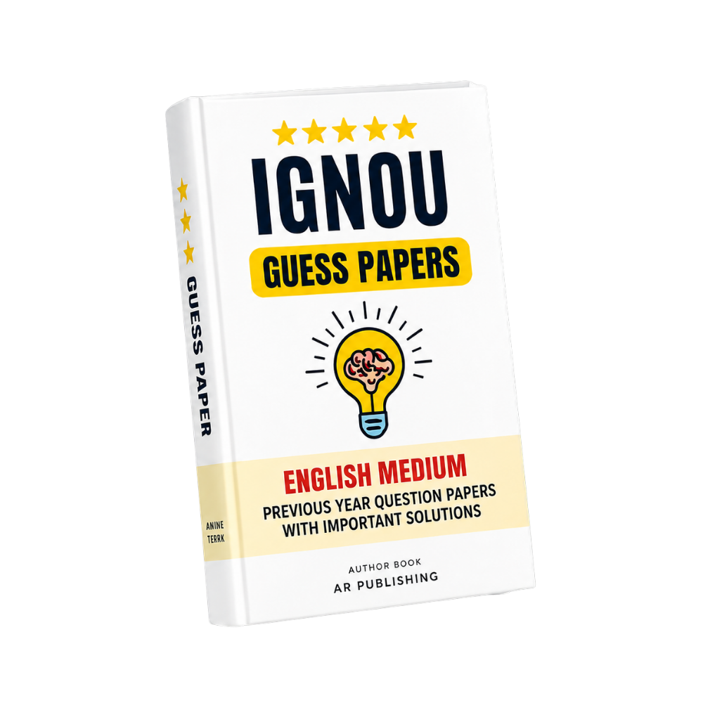
MGG-012 IGNOU Guess Paper 2026-27
Click to view offer details & terms
Get 10% OFF Instant Discount
Apply this coupon code at checkout to claim your academic discount instantly.
- Applicable on all university study materials
- Valid for up to 8 item(s) per order
- Valid till Oct 31, 2026
Enrolled in other IGNOU subjects?
Link your Enrollment No. to auto-map all your semester courses & free question papers.
Frequently Bought Together
Popular course materials frequently ordered together
Syllabus & Overview
MGG-012 Guess Paper: Introduction to Remote Sensing (TEE Preparation)
The following structured breakdown aligns with IGNOU’s official curriculum for MGG-012, emphasizing chapter-wise question weightage and 3-hour exam strategies derived from past TEE papers (2018–2023).
1. Block-1: Basics of Remote Sensing
This block carries 15–20% of total marks and frequently tests:
- Electromagnetic spectrum (wavelengths, bands, and interaction with Earth’s surface)
- Remote sensing principles (active vs. passive sensors, spatial/temporal resolution)
- Applications in natural resource mapping (e.g., vegetation indices, soil moisture estimation)
Key FAQ: Why is the spectral signature critical for land cover classification? It defines how materials reflect/emit energy across wavelengths, enabling differentiation (e.g., healthy vs. stressed vegetation).
2. Block-2: Remote Sensing Platforms, Sensors, and Programmes
Focus on sensor types and satellite missions (25–30% weightage):
- Optical sensors (Landsat, Sentinel-2) and their multispectral/hyperspectral capabilities
- Radar sensors (SAR: resolution, polarizations, and applications in flood/inundation mapping)
- Indian programmes (e.g., IRS series, INSAT, and their data accessibility)
Key FAQ: How does SAR backscatter differ from optical reflectance? SAR uses microwave backscatter (dependent on surface roughness/texture), while optical reflectance relies on visible/NIR absorption/emission.
3. Block-3: Remote Sensing Data Products and Advances
Data processing and thematic mapping (20–25%):
- Image preprocessing (radiometric/geometric correction, atmospheric correction)
- Advanced techniques (change detection, NDVI, NDWI, and their ecological applications)
- Cloud-based platforms (Google Earth Engine, Sentinel Hub for near-real-time analysis)
4. Block-4: Image Interpretation and Applications
Application-driven questions (20–25%):
- Geological mapping (spectral signatures of minerals, thermal anomalies)
- Agricultural monitoring (crop health indices, yield prediction)
- Disaster management (flood/inundation mapping via SAR, wildfire detection)
Key FAQ: Which remote sensing indices are most reliable for drought assessment? The Normalized Difference Moisture Index (NDMI) and Vegetation Condition Index (VCI) are widely used due to their sensitivity to soil moisture and vegetation stress.
Exam Time Management (3-Hour Strategy)
- Allocate 45 minutes for Block-1 (theory-heavy) and 60 minutes for Blocks 2–4 (practical/calculation-heavy).
- Prioritize short-answer questions (2–3 marks) on sensor types, indices, and applications over long-answer essays.
- For case-study questions, focus on Sentinel-2/Landsat data processing steps and real-world examples (e.g., urban heat islands, deforestation).
- Avoid memorizing sensor specifications verbatim; instead, understand their applicability (e.g., why SAR is used for cloud-penetration tasks).
Solved Previous Year Trends (June/Dec Sessions)
- 2023 Dec: 3 questions on NDVI applications in biodiversity assessment; 2 on SAR polarizations for flood mapping.
- 2022 June: 4 questions on electromagnetic spectrum interactions; 1 on Indian remote sensing satellites and their resolutions.
- 2021 Dec: Focus on image preprocessing steps and cloud-based remote sensing tools (e.g., Google Earth Engine).
Why buy from us?
-
Verified by top professors and 99th percentile students.
-
Always updated to the latest university curriculum.
-
High-quality, printable PDF formats with clear diagrams.
License & Terms
By purchasing this item, you agree to our standard academic license terms. You may use this product for personal study, but you may not resell or redistribute the files online.