


MGYE-041 IGNOU Handwritten Assignment 2026-27
Frequently Bought Together
Popular course materials frequently ordered together
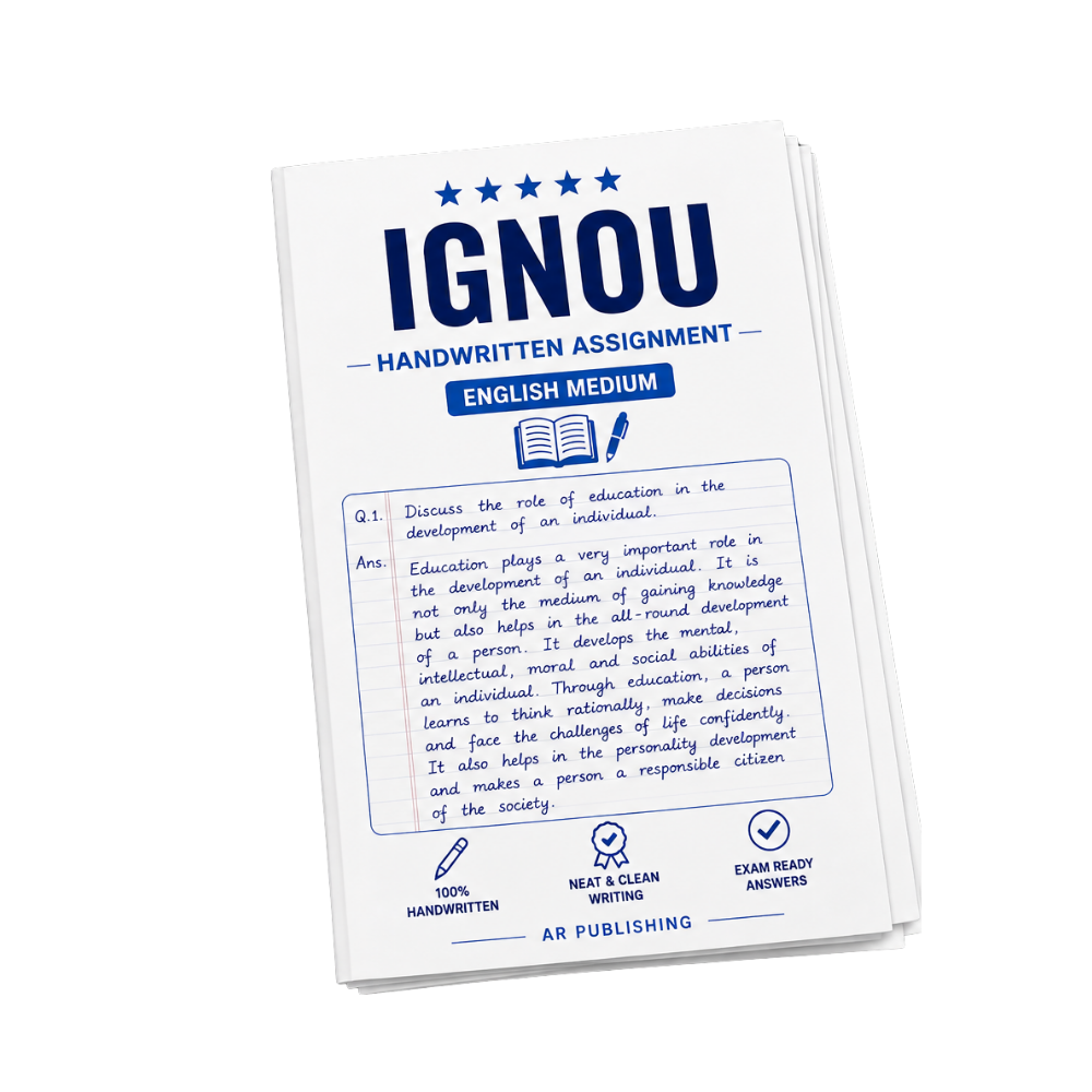
Syllabus & Overview
Course Scope and Syllabus Overview for MGYE-041: Geoinformatics in Urban Development and Planning
MGYE-041 is a specialized course within the MSc in Geoinformatics (MSCGI) curriculum, designed to integrate spatial data analysis and geoinformatics tools into urban development and planning frameworks. This course bridges theoretical urban studies with practical applications of GIS, remote sensing, and geospatial technologies, preparing students to address real-world challenges in sustainable urbanization. Through structured modules, students explore urban growth dynamics, policy formulation, and technological interventions, ensuring they develop interdisciplinary expertise aligned with IGNOU’s CBCS standards.Key Syllabus Units and Topics
- Block-1: Introduction to Urban Development: Covers foundational concepts of urbanization, demographic trends, and spatial patterns in urban areas, emphasizing historical and socio-economic drivers of urban growth.
- Block-2: Introduction to Urban Planning: Examines principles of urban planning, zoning regulations, and participatory approaches, with a focus on legal frameworks and their implementation in geospatial contexts.
- Block-3: Challenges and Issues in Urban Development and Planning: Analyzes contemporary urban problems such as land-use conflicts, environmental degradation, and infrastructure gaps, using case studies to illustrate geoinformatics-driven solutions.
- Block-4: Application of Geoinformatics for Urban Environment: Focuses on GIS-based urban modeling, remote sensing for monitoring air quality and land cover changes, and spatial decision support systems for sustainable urban management.
Frequently Asked Questions
Q: What is the marking scheme for the MGYE-041 assignment, and how many marks are allocated to each section?
A: The MGYE-041 assignment typically carries 30 marks, with detailed evaluation criteria for theoretical questions, practical applications, and case study analysis as per IGNOU’s CBCS guidelines.
Q: What are the pass marks required for MGYE-041, and how does the examination pattern differ from other MSc Geoinformatics courses?
A: The pass marks for MGYE-041 are 40%, with a mix of internal (assignment) and external (term-end) assessments. Unlike theoretical courses, this subject emphasizes project-based evaluation and geospatial tool proficiency.
Product Overview: MGYE-041 Handwritten Assignment (Physical Hard Copy)
Why buy from us?
-
Verified by top professors and 99th percentile students.
-
Always updated to the latest university curriculum.
-
High-quality, printable PDF formats with clear diagrams.
License & Terms
By purchasing this item, you agree to our standard academic license terms. You may use this product for personal study, but you may not resell or redistribute the files online.