

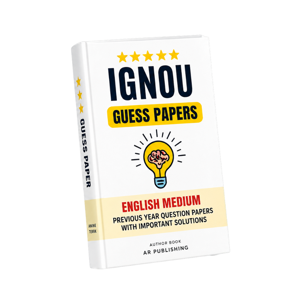
MPA-036 IGNOU Guess Paper 2026-27
Click to view offer details & terms
Get 10% OFF Instant Discount
Apply this coupon code at checkout to claim your academic discount instantly.
- Applicable on all university study materials
- Valid for up to 8 item(s) per order
- Valid till Oct 31, 2026
Enrolled in other IGNOU subjects?
Link your Enrollment No. to auto-map all your semester courses & free question papers.
Frequently Bought Together
Popular course materials frequently ordered together
Syllabus & Overview
Course Scope & Syllabus Overview
MPA-036: Geoinformatics in Disaster Management is a specialized course within the Post Graduate Diploma in Disaster Risk Reduction and Management (PGDDRRM), designed to integrate geospatial technologies with disaster management frameworks. This course equips students with analytical tools to assess, mitigate, and respond to disasters using GIS, remote sensing, and spatial analysis. Aligned with the IGNOU CBCS curriculum, it emphasizes practical applications such as hazard mapping, vulnerability analysis, and real-time disaster monitoring, ensuring students develop expertise in evidence-based decision-making for public administration and logistics in crisis scenarios.Key Syllabus Units & Topics
- Block-1: Basics of Geoinformatics: Covers foundational concepts of GIS, remote sensing principles, and spatial data management, including coordinate systems, projections, and database structures essential for disaster analysis.
- Block-2: Applications of Geoinformatics in Disaster Management and Risk Reduction: Explores how geospatial tools enable risk assessment, land-use planning, and policy formulation to minimize disaster impacts, with case studies on urban flooding and landslides.
- Block-3: Pre-Disaster Applications: Focuses on predictive modeling, early warning systems, and simulation techniques to preempt disasters, such as earthquake hazard zoning and drought forecasting using satellite imagery.
- Block-4: Post-Disaster and Hazard-Specific Applications: Analyzes post-event geospatial interventions, including damage assessment, resource allocation, and recovery planning, with examples from cyclones and wildfires.
Frequently Asked Questions
Q: How are marks distributed in the MPA-036 TEE, and what weightage do assignments carry?
A: The IGNOU TEE for MPA-036 carries 100 marks, with assignments accounting for 30% of the total evaluation (15 marks each for two assignments), while the written exam constitutes 70% (70 marks).
Q: Which units in MPA-036 are most frequently repeated in past TEE question papers?
A: Blocks 2 (Applications of Geoinformatics) and 4 (Post-Disaster Applications) consistently feature in repeated questions due to their practical relevance, often focusing on case studies and spatial analysis techniques.
Why buy from us?
-
Verified by top professors and 99th percentile students.
-
Always updated to the latest university curriculum.
-
High-quality, printable PDF formats with clear diagrams.
License & Terms
By purchasing this item, you agree to our standard academic license terms. You may use this product for personal study, but you may not resell or redistribute the files online.